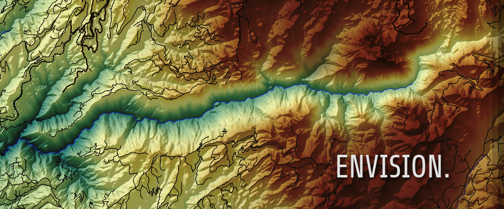
Geospatial Design and Analysis
High quality information management requires the ability to create, manage, analyze, and present this information not only in charts, graphs, and reports, but also on maps, applications, and mobile devices. Our highly trained experts are adept at providing top-notch solutions and products to meet an organization’s needs from data collection using GPS and mobile devices to geospatial analysis, cartographic production, and web design.
Image Analysis and Feature Extraction
Images are not just pretty pictures; they contain valuable information that can augment other geospatial and location based information from aerial cameras to satellite imaging systems. Our image experts can develop solutions to create and analyze new information for your business. Our team has broad experience in traditional optical systems such as aerial photography and satellites, but also in LiDAR, RADAR, and hyperspectral imaging systems and processes.


